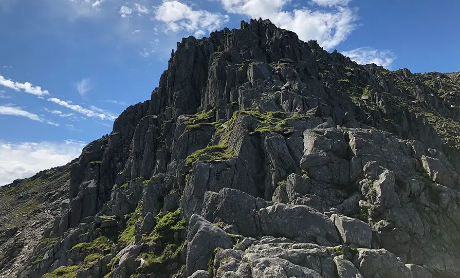
Bristly Ridge is a natural extension to the Tryfan North Ridge route (and so it’s best to do both together), but it is also a fantastic day out in itself.
How difficult is Bristly Ridge?
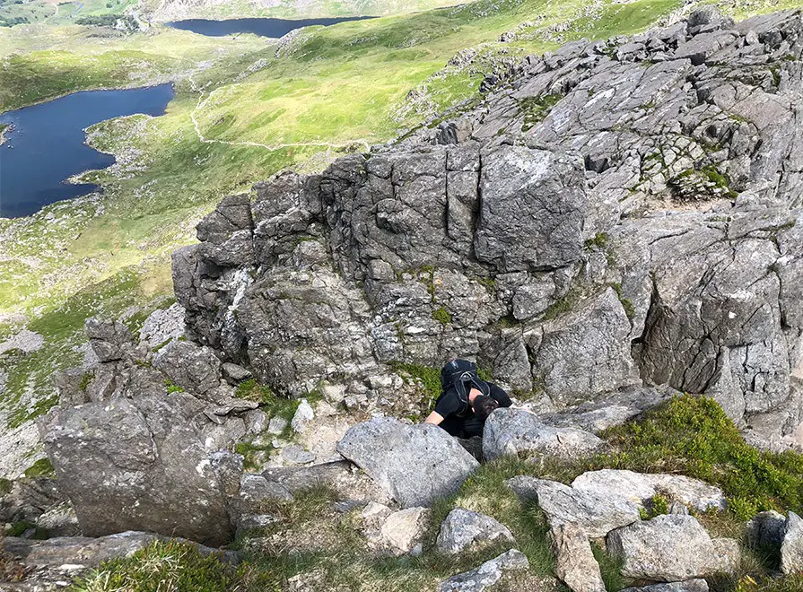
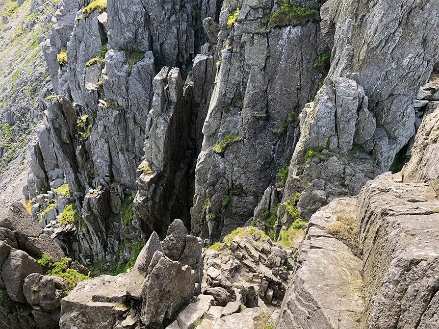
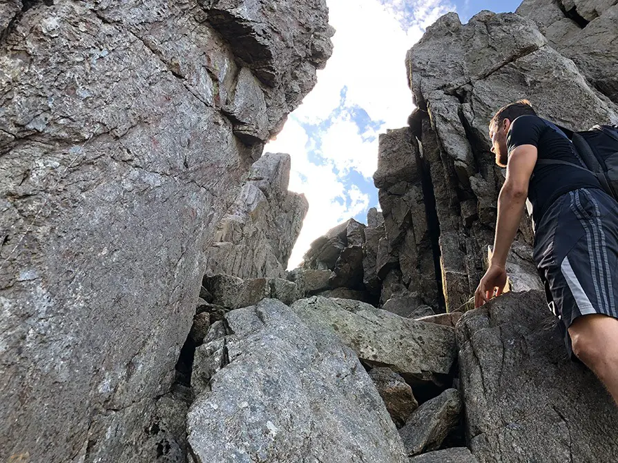
Bristly ridge is a grade 1 scramble with some exposed sections but plentiful hand holds. It is approached via Sinister Gully which is more of a staircase with great holds all the way to the top. The hardest part of Bristly ridge is the slight down climb just before the Great Pinnacle.
It’s highly recommended you invest in scrambling boots or shoes (walking boots won’t help you).
Parking: Tryfan Car Park (Google Maps).
Route Map
The route goes from East to West, or clockwise, starting at any of the Car Parks along the road at the base of Tryfan, moving up to Llyn Bochlwyd, then ascending to the start of the ridge via Bwlch Tryfan. After completing the ridge and traversing the summit of Glyder Fach, the descent route is via the Gribin Ridge.
Approach
From the car park at the edge of the A5, follow a rough path that winds the way up towards Llyn Bochlwyd, or alternatively start nearer the Ogwen Cottage and take the more substantial path to Llyn Bochlwyd.
From there trend left and ascent steep slopes to reach Bwlch Tryfan.
You will see a stone wall that runs up to the ridge, follow it on the left side until the stile at the end, at which point cross the stile.
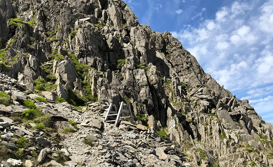
Sinister Gully – The Start
Sinister Gully is the start of the Bristly Ridge scramble (watch the Sinister Gully video here), and the name comes from the latin word for “left” as opposed to it being overly dangerous. The wider gully to the right of it is called Dexter gully or Main Gully, and is a slightly more difficult but less enjoyable variation.
To locate Sinister gully, after crossing the stile, continue forward for a few steps and then begin to ascend rocks on your left. Up above you should see a small stone wall that looks as if it’s stopping subsidence. Climb up and over this, and the gully will be straight ahead of you (see video).
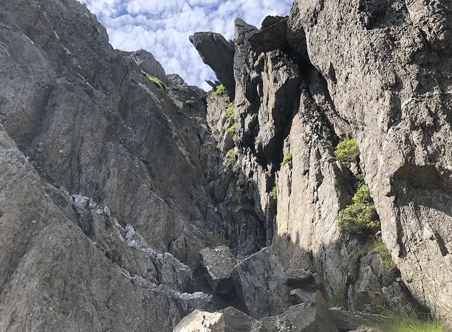
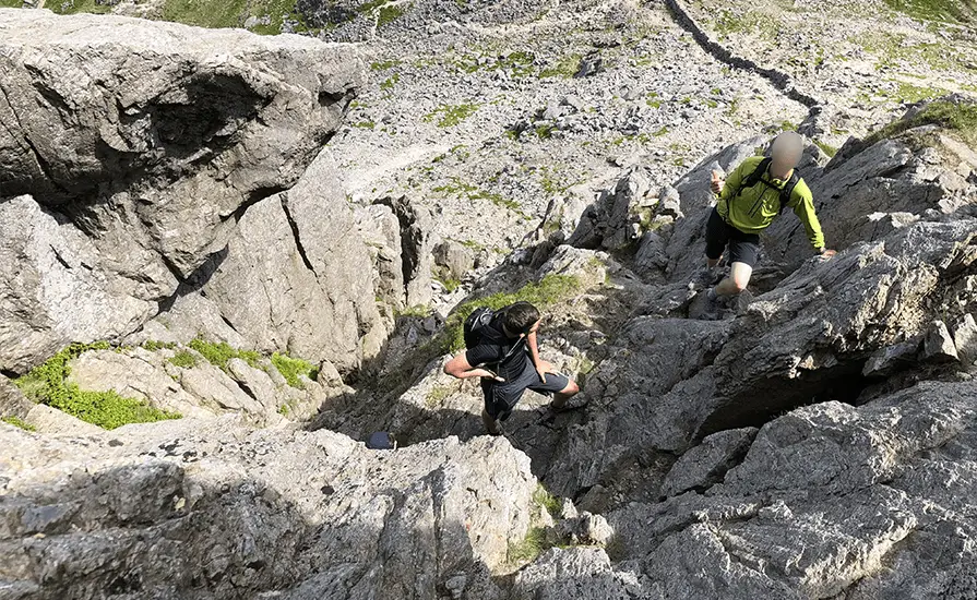
How To Scramble Bristly Ridge
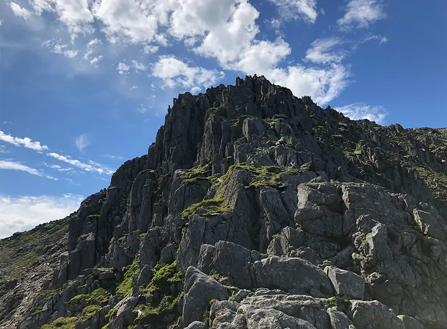
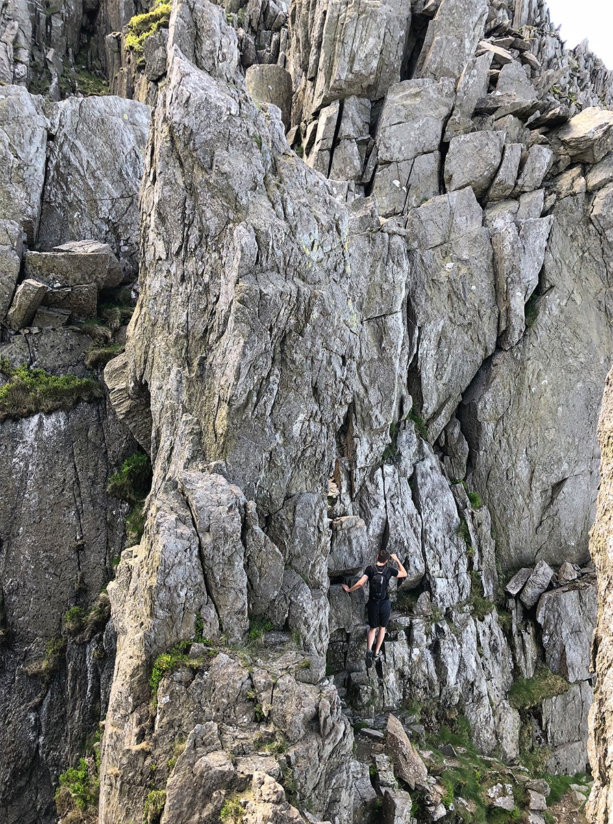
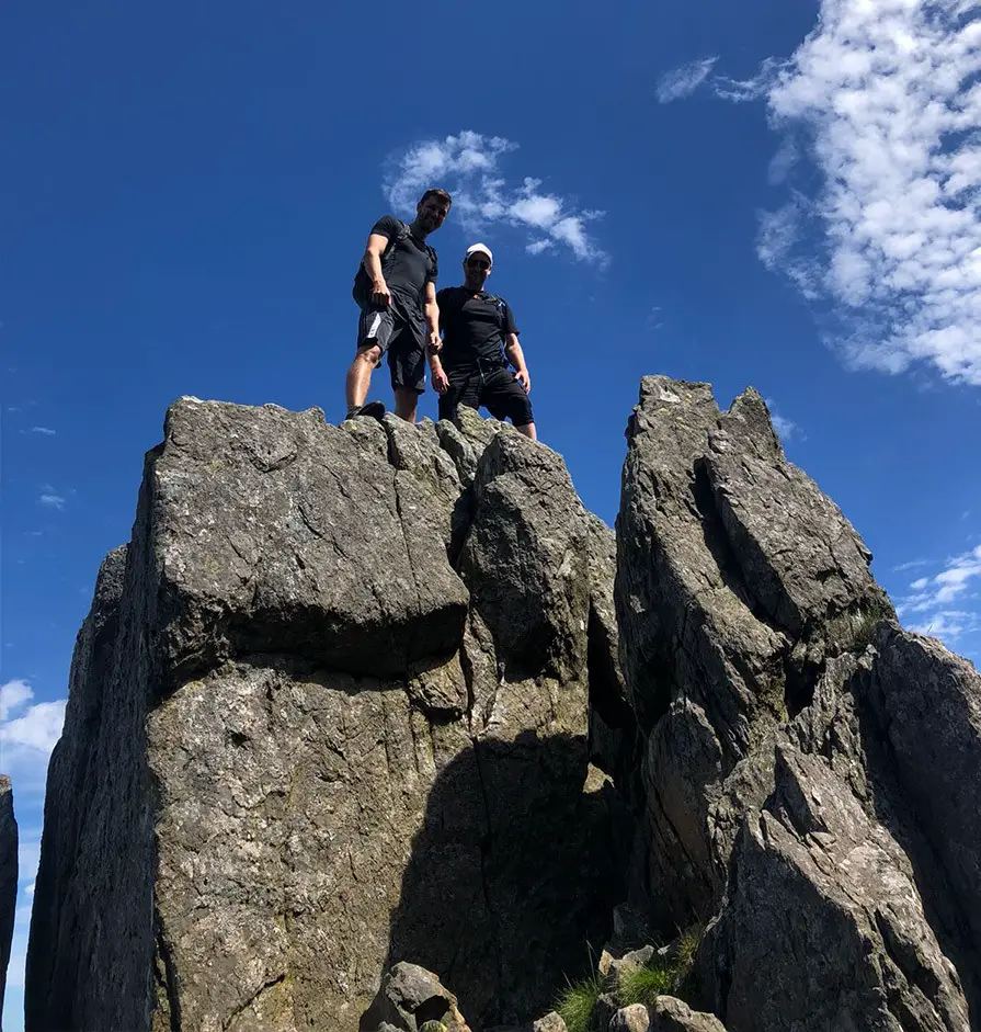
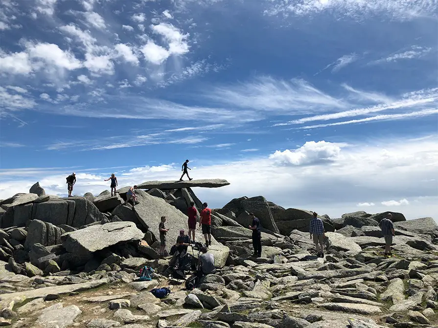
At the top of Sinister Gully you will now be on the ridge proper, where a direct scramble along the ridge is the best route, providing a great hands on rock and moderate exposure.
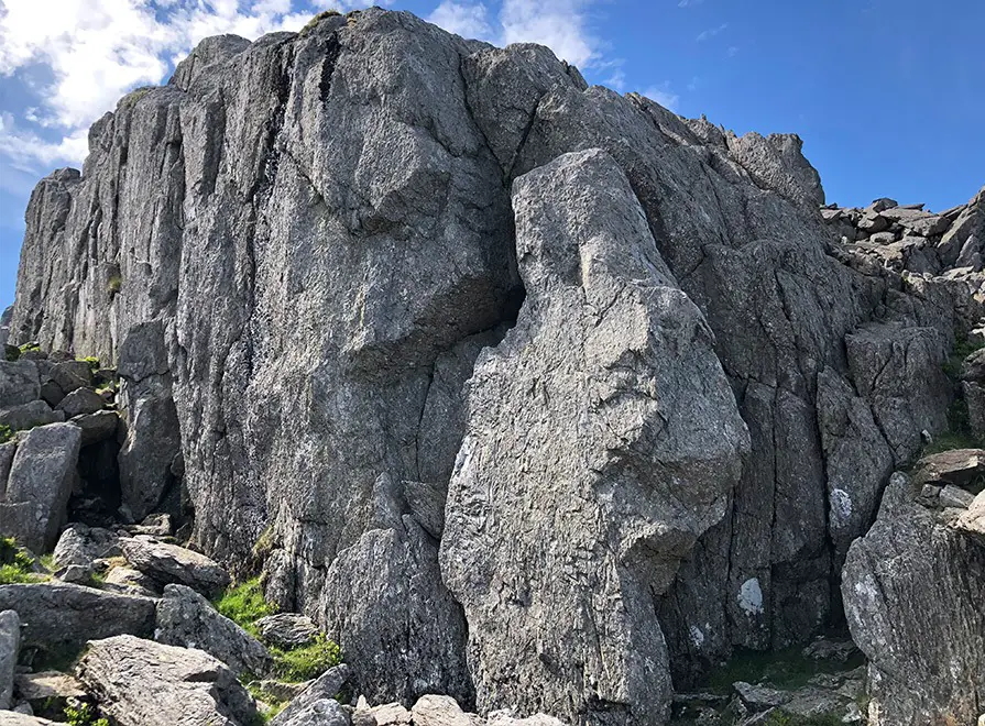
The crux of the route is the Great Pinnacle Gap, which is best down climbed on the left side of the ridge, crossing the gap, and ascending the step on the right side of the pinnacle.
Descent
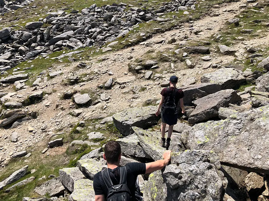
Descent can be made after summiting Glyder Fach by following Gribin Ridge to Llyn Bochlywd, then following the broken path towards the car park, which turns into a more defined route about half way down.
Recommended Guidebook & Map
The best guidebook for this route is the excellent Scrambles in Snowdonia Cicerone book by Steve Ashton, available on Amazon in paperback or ebook here.
The best map for this scrambling route is the OL17 Ordnance Survey Map – Snowdon / YR WYDDFA, which is available on Amazon here.
Recommended Scrambling Guide: (coming soon)
Recommended Accommodation
You can find accommodation for any budget in the area on Booking.com here.
Route Info
| Distance | 3.88 km |
| Elevation | 554m +/- |
| Duration | 3 - 4 hours |
| Grade | 1*** |
| Transport | Car - Tryfan Car Park |
Navigation
| Guidebook | Best Book |
| Maps | Best Map |
| Guided Tours | Guides |
| Accommodation | Where To Stay? |
| Contributor | Who Contributed? |
Route Contributed by: Matt Jackson
This route was created by Matt Jackson and donated to the UK Scrambles website through our contributor program.
This generosity enables us to publish a whole range of scrambling routes to help you enjoy the outdoors.
If you have a route you could contribute, submit it to us today.
You can view other routes Matt has contributed here.

This Post Has 0 Comments